Showing posts with label drought. Show all posts
Showing posts with label drought. Show all posts
Saturday, July 11, 2026


Sunday, July 5, 2026
Worsening heat wave: European and USA

(DemocracyNow.org) Record heat waves are preview of our future on a warming planet

The USA's Midwest is about to suffer massive heat wave as it celebrates its Independence Day with many sporting events, stifling humidity, record temperatures, and lots of high-pollution (particulate matter of 10 microns or less) fireworks displays, including Dictator Trump's Washington DC circus spectacular. Claims are that this will be the single biggest detonation of firecrackers and hand bombs in the history of the country (not counting its many "shock and awe" displays over the head of other countries the imperialist USA was dominating and illegally bombing and occupying and robbing blind).

The USA's Midwest is about to suffer massive heat wave as it celebrates its Independence Day with many sporting events, stifling humidity, record temperatures, and lots of high-pollution (particulate matter of 10 microns or less) fireworks displays, including Dictator Trump's Washington DC circus spectacular. Claims are that this will be the single biggest detonation of firecrackers and hand bombs in the history of the country (not counting its many "shock and awe" displays over the head of other countries the imperialist USA was dominating and illegally bombing and occupying and robbing blind).
World Headlines: July 1, 2026
Tuesday, April 21, 2026
Monday, July 7, 2025
Six months since Los Angeles Fire

 |
| Altadena is in foothills on the edge of Angeles Forest. Pacific Palisades is swank beachside. |
California Gov. Gavin Newsom, Kathryn Barger, oops, sorry, LA Mayor Karen Bass was busy
.

%20los%20angeles.jpg) What was the cause in the Palisades Fire, a homeless campfire or a directed energy weapon deployed on some of the richest liberal real estate in the country? In Altadena it has become clear that the Eaton Fire was Southern California Edison's fault, according to conclusive forensic evidence gathered by attorneys Mikal Watts and Barbara Boxer's son (and Erin Brockovich) at lafirejustice.com.
What was the cause in the Palisades Fire, a homeless campfire or a directed energy weapon deployed on some of the richest liberal real estate in the country? In Altadena it has become clear that the Eaton Fire was Southern California Edison's fault, according to conclusive forensic evidence gathered by attorneys Mikal Watts and Barbara Boxer's son (and Erin Brockovich) at lafirejustice.com.

 |
| The LA Fire in Altadena and the Pacific Palisades is the costliest fire disaster in US history. |

It has been six months since the devastation touched Los Angeles, first with inexplicable winds then the common consequence, a California brush fire that spread all out of control. The cost of it may end up being a quarter trillion by some estimates. That seems impossible to believe because if it were true, how much better might that money be used?
Update from construction worker Adam Corolla
%20los%20angeles.jpg)
SCE may be 100% to blame for starting it with their derelict transmission tower not being cared for, taken down, or secured and grounded to avoid this predictable outcome. But Mayor Bass, the lack of a reservoir, the fire department doing next to nothing, and no precautions being taken when the weather forecast perfectly predicted how bad the winds would be. Someone upstairs is to blame for not having enough precautions in place. It might be Kathryn Barger, but all eyes and targets are on Mayor Karen Bass and future president-wannabe Gov. Gav (Newsom). What does everyone claim the cause of this (Paradise/Camp-style) Fire was? Embers.

- LA Mayor Karen Bass scrutinized as California wildfires rage: Where was she, and why didn't she cover city in advance?
- Mayor Karen Bass confronts ICE in LA | FOX 11 LA
- VIDEO: New kind of fake quicksand snow in China?
What caused the Eaton Fire?
 |
| It's as if Vulcan, the god of fire, burned part of Los Angeles back to the stone age. |
.
No time to cry for LA after TX flood
Wednesday, November 20, 2024
California's bomb cyclone, drought in NY
Atmospheric river begins to drop rain, snow in Northern California
(CBS News Sacramento)
Nov. 20, 2024: Over the next several days, Northern California will continue to see rain and snow due to an atmospheric river that's just getting started. It's a bomb cyclone over Seattle and California's capital Sacramento.
Monday, October 14, 2024
Tuesday, September 3, 2024
Calif heatwave, Yellowstone freezes


California braces for blistering 113F heatwave as wildfires rip through Golden State amid evacuations

 |
| It's another mandatory beach day in Southern California to fight the heat with cold LA seawater |

 |
| Workout time, Jen Love Hewitt |
While Northern California won’t see as extreme temperatures as the southern portion of the state, they will still be above average temperatures for most of the week.
This will all go on while fire crews are battling wildfires all over the state with the largest being near the Tahoe National Forest, north of the capital Sacramento near the Nevada border.
- Oregon wildfires burn 1.4 million acres, making them most destructive since reliable records began
- California wildfire engulfs homes with thousands evacuated as 200 firefighters battle blaze
- Lincoln Place - Apartments in Venice, CA - FAQ (lincolnplaceapthomes.com)
Dubbed the Bear Fire, the Sierra County blaze sparked Monday (Labor Day) afternoon and prompted mandatory evacuations in the surrounding area according to state and federal fire officials. More
- The Mirror US via MSN, 9/3/24; Ashley Wells, Pfc. Sandoval (eds.), Wisdom Quarterly
Thursday, May 16, 2024
Mysterious lost branch of Nile found, Egypt
 |
| Who were these mysterious ET "gods" who walked among us that we worshiped them? |
 |
| Now-extinct Ahramat Branch of Nile was used to build pyramids (Eman Ghoneim et al/CNN) |
.
 |
| What's the Sahara Desert's Nile got to do with it? |
Egypt’s Great Pyramid and other ancient monuments at Giza exist on an isolated strip of land in Africa at the edge of the Sahara Desert.
The inhospitable location has long puzzled archaeologists, some of whom had found evidence that the Nile River once flowed near these pyramids in some capacity, facilitating the landmarks’ construction starting 4,700 years ago.
Using satellite imaging and analysis of cores of sediment, a new study published Thursday (5/16/24) in the journal Communications Earth & Environment has mapped a 40-mile (64-kilometer) long, dried-up, branch of the Nile, long buried beneath farmland and desert.
“Even though many efforts to reconstruct the early Nile waterways have been conducted, they have largely been confined to soil sample collections from small sites, which has led to the mapping of only fragmented sections of the ancient Nile channel systems,” said lead study author Eman Ghoneim, a professor and director of the Space and Drone Remote Sensing Lab at the University of North Carolina Wilmington’s department of Earth and ocean sciences.
“This is the first study to provide the first map of the long-lost ancient branch of the Nile River.”
Prof. Ghoneim and her colleagues refer to this extinct branch of the Nile River as Ahramat, which is Arabic for “pyramids.”
 |
| Red Pyramid at Dahshur necropolis is located near now-defunct arm of Nile (Ghoneim) |
.
The ancient waterway would have been about one-third of a mile (0.5 kilometers) wide with a depth of at least 82 feet (25 meters) — similar to the contemporary Nile River, Prof. Ghoneim said.
“The large size and extended length of the Ahramat Branch and its proximity to the 31 pyramids in the study area strongly suggests a functional waterway of great importance,” Prof. Ghoneim said.
She said the river would have played a key role in ancient Egyptians’ transportation of the enormous amount of building materials and laborers needed for the pyramids’ construction.
“Also, our research shows that many of the pyramids in the study area have [a] causeway, a ceremonial raised walkway, that runs perpendicular to the course of the Ahramat Branch and terminates directly on its riverbank.”
Hidden traces of a lost waterway
 |
| The researchers collected soil samples to confirm findings because Nile branch was invisible. |
.
Traces of the river aren’t visible in aerial photos or in imagery from optical satellites, Prof. Ghoneim said. In fact, she only spotted something unexpected while studying radar satellite data of the wider area for ancient rivers and lakes that might reveal a new source of groundwater.
“I am a geomorphologist, a paleohydrologist looking into landforms. I have this kind of trained eye,” she said.
“While working with this data, I noticed this really obvious branch or a kind of riverbank, and it didn’t make any sense because it is really far from the Nile,” she added.
Born and raised in Egypt, Prof. Ghoneim was familiar with the cluster of pyramids in this area and had always wondered why they were built there.
She applied to the National Science Foundation to investigate further, and geophysical data taken at ground level with the use of ground-penetrating radar and electromagnetic tomography confirmed it was an ancient arm of the Nile.
Two long cores of earth the team extracted using drilling equipment revealed sandy sediment consistent with a river channel at a depth of about 82 feet (25 meters).
It’s possible that “countless” temples might still be buried beneath the agricultural fields and desert sands along the riverbank of the Ahramat Branch, according to the study.
 |
| Red Pyramid at Dahshur necropolis is located near now-defunct arm of Nile (Ghoneim/CNN) |
.
Why this branch of the river dried up or disappeared is still unclear. Most likely, a period of drought and desertification swept sand into the region, silting up the river, Prof. Ghoneim said.
The study demonstrated that when the pyramids were built, the geography and riverscapes of the Nile differed significantly from those of today, said Nick Marriner, a geographer at the French National Centre for Scientific Research in Paris.
He was not involved in the study but has conducted research on the fluvial history of Giza.
“The study completes an important part of the past landscape puzzle,” Marriner said.
“By putting together these pieces we can gain a clearer picture of what the Nile floodplain looked like at the time of the pyramid builders and how the ancient Egyptians harnessed their environments to transport building materials for their monumental construction endeavors.”
- CNN’s Wonder Theory science newsletter: Explore the universe with news on fascinating discoveries, scientific advancements
- Katie Hunt, CNN (via MSN.com), May 16, 2024, "Newly mapped lost branch of the Nile could help solve long-standing pyramid mystery"; Pat Macpherson, Dhr. Seven (eds.), Wisdom Quarterly
Sunday, March 3, 2024
California blizzard 100 mph winds, 12 ft snow
Jon. Petramala, 3/2/24; WXChasing; ABC7 News Bay Area; TODAY; Eds., Wisdom Quarterly

- 00:00 Intro
- 01:34 The first I-80 closure in the storm
- 03:00 Category 2 hurricane force winds
- 04:13 Snowshoeing in a blizzard
- 07:27 Stuck with a [delicious] toddler in a blizzard
- 12:00 I-80 closes, stranding hundreds of drivers
- 13:00 The 2-wheel drive problem
- 15:00 CHP clears highway
- 16:33 Towing a news van
Powerful blizzard slams West Coast with up to 12 feet of snow

(Foresty Forest) Life in a 4x4 Van: Camping in Lake Tahoe for the blizzard
(WXChasing) Truckee, CA, digs out from epic blizzard of 2024: Tow trucks
recover dozens of tractor trailers buried in snow, some up to the windows.
Bears come out as Sierra snowstorm moves in

ABOUT: TODAY brings the latest headlines and expert tips on money, health, and parenting, waking up every morning to give all that's needed to start the day. If it matters, it matters to us, because we are in the people business and will do anything to please viewers and increase corporate profits. Subscribe to our channel for exclusive TODAY archival footage and original web series.
Connect with TODAY Online.
Visit TODAY's website: https://www.today.com/. TODAY: https://www.youtube.com/@TODAY
Sunday, February 4, 2024
Scientists find trigger for Mayan collapse
David Nield, HUMANS, ScienceAlert, 2/4/24; Xochitl, Crystal Q. (eds.), Wisdom Quarterly
 |
| Once abundant freshwater went underground, into sinkholes (cenotes), making farming difficult. |
 |
| Yucatan Peninsula, Mexico: The temples of central Mayapan today (Bradley Russell). |
.
Scientists say they've found the trigger for ancient Maya's collapse, and it reads like a warning
 |
| Mexico, once Mesoamerica, is in North America |
That drought would have led to civil conflict, which would, in turn, have brought about political collapse, according to the researchers.
People would then have retreated to smaller and safer settlements.
As well as giving us a useful insight into the history of this ancient people, the 2022 study served as a warning as well: about how shifts in climate can quickly put pressures on even the most well-established and prosperous civilizations.
"Multiple data sources indicate that civil conflict increased significantly, and generalized linear modeling correlates strife in the city with drought conditions between 1400 and 1450 CE," wrote the researchers in their paper, published in July 2022.

"We argue that prolonged drought escalated rival factional tensions, but subsequent adaptations reveal region-scale resiliency, ensuring that Maya political and economic structures endured until European contact in the early 16th century CE."
The team already had a lot of historical records to work with, covering population change, contemporary diets, and climate conditions.
These records were augmented with a new analysis of human remains for signs of traumatic injury (pointing to conflict). More
Wednesday, August 16, 2023
The Maui fires: What really happened? (video)
The Maui fires - what really happened?

Chapters
- 0:00 - Introduction
- 0:50 - What we know
- 3:55 - What caused it?
- 10:14 - Fire science
- 12:05 - Non-native species
- 13:25 - History of Hawaii
- 16:57 - Big land grab?
- 19:02 - Conspiracy theories
- 21:20 - Hawaii wasn't prepared
- 25:00 - How You Can Help
Support. Join the Newsletter (https://geni.us/TwoBitWeekly). Become a Patron (https://geni.us/TwoBitPatreon) Buying a Tesla? (https://geni.us/GoTesla). Partners: Protect self online (https://geni.us/deleteMe). Going solar? Save 50% on solar panels (https://geni.us/SolarSteals). Energy Sage for Solar (https://geni.us/EnergySage). Company outreach: Sponsor a video (sponsors@twobit.media). Connect (https://twitter.com/TwoBitDaVinci, https://www.facebook.com/twobitdavinci, https://www.instagram.com/twobitdavinci/
What is covered? Maui wildfire, Hawaii fire, Hawaii wildfire, Lahaina fire, Lahaina wildfire, Hawaii fires now, Big Island now, How did they start? cause, conspiracy, Maui fires update
Sunday, August 13, 2023
Deadliest modern fire in US history: Maui
Maui wildfires now deadliest in modern U.S. history

Hundreds still missing after devastating Maui fire

Subscribe to NBC News: http://nbcnews.to/SubscribeToNBC. Watch more NBC video: http://bit.ly/MoreNBCNews
NBC News Digital is a collection of innovative and powerful news brands that deliver compelling, diverse and engaging news stories. NBC News Digital features NBCNews.com, MSNBC.com, TODAY.com, Nightly News, Meet the Press, Dateline, and the existing apps and digital extensions of these respective properties. It delivers the best in breaking news, live video coverage, original journalism, and segments from favorite NBC News shows.
Wednesday, August 9, 2023
Paradise Lost: fire consumes Maui, Hawaii
Pfc. Sandoval, Seth Auberon (eds.), Wisdom Quarterly

(Tyler Durden) Aug. 9, 2023: Shocking footage of an out-of-control wildfire burning in Hawaii has been shared on Twitter, showing the devastation.
The epicenter of the destruction is in the old Hawaiian town and former state capital of Lahaina on the island of Maui. 1,700 buildings have been destroyed. CBS News said, "People were jumping into the water to escape flames and smoke from a wind-fueled wildfire."
Strong winds and dry conditions have been fueling the fire [turning it into a furnace reminiscent of Paradise, California]. As of early Wednesday local time, fires were active in Lahaina, Kula, North Kohala, and South Kohala. More

Traffic has been very heavy as people try to evacuate, and officials asked people who weren’t in an evacuation area to shelter in place to avoid adding to the traffic, she said. Photos posted by the county overnight showed a line of flames blazing across an intersection in Lahaina and leaping above buildings in the town, whose historic district is on the National Register of Historic Places.


"Apocalyptic scene": Out-of-control wildfire spreads on Hawaii's Maui Island
 |
| It's a very remote |
- How do these things happen? Direct Energy Weapons (Dr. Judy Wood) deployed from the sky hit vulnerable areas when conditions will amplify the destruction. We'll have "climate change" and chaos one way or another, and if we cannot depend on nature, the military will do it (rense.com).

Out-of-control fire consumes parts of Maui, sending people into the water to escape
(Military.com) HONOLULU, Hawaii — Wind-whipped wildfires raced through parts of Hawaii on Wednesday, burning down businesses in a historic town on the island of Maui, forcing evacuations and leading some to flee to the relative safety of the ocean, where they were rescued by the Coast Guard.
Fire was widespread in Lahaina Town, including on Front Street, an area that is popular with tourists, County of Maui spokesperson Mahina Martin said by phone early Wednesday.

 |
| Maybe we shouldn't be living on these islands |
“Do NOT go to Lahaina Town,” the county tweeted hours before all roads in and out of West Maui’s biggest community were closed to everyone except emergency personnel.
The National Weather Service said Hurricane Dora, which was passing to the south of the island chain at a safe distance of 500 miles (805 kilometers), was partly to blame for gusts above 60 mph (97 kph) that knocked out power, rattled homes and grounded firefighting helicopters.
 |
| Pres. Tulsi Gabbard would fix B.S. Obama Land |
Dangerous fire conditions created by strong winds and low humidity were expected to last through Wednesday afternoon, the weather service said.
The Coast Guard on Tuesday responded to areas where people had fled into the ocean to escape the fire and smoky conditions, the county said in a statement. More
Sunday, March 12, 2023
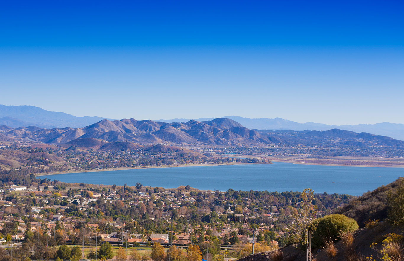
Finally, California plans to catch rainwater
 |
| What if California is a desert like everyone thinks rather than a Mediterranean climate? |


Monday, January 9, 2023
California hit by rains, floods during drought
Weather.com, 1/9/23; Seth Auberon, Pfc. Sandoval, Sheldon S. (eds.), Wisdom Quarterly


 |
| Will the Sierra snowpack sustain us? |
The artificial drought California is enduring (as some agency or agencies control the weather and keep weather anomalies, like an artificial high-pressure system, moving atmospheric rivers to flood areas while starving others of normal precipitation levels). Now the waterworks are being turned on with little to no effect on drought being claimed. The Island of California (aka "Paradise") is still in it. The state is flooding, crumbling, and being devastated, all while not storing much if any of that free water for later when it's desperately needed to avoid draining the Colorado River and its reservoirs to water our lawns.
(Weather.com) California is once again being pummeled by flooding rain and damaging winds after yet another atmospheric river storm pushed into the state.
That flooding forced more evacuations in areas like Santa Cruz County, south of the San Francisco Bay Area, where the San Lorenzo River reached major flood stage today (Monday) morning and appeared to have flooded homes.
At least 12 people have died in California in storm-related incidents since the storms started hammering the state a couple of weeks ago.
- FORECAST: Flooding threat worsens as major storm arrives
- STORY: Dangerous California storm prompts evacuations
Subscribe to:
Posts (Atom)